Panoramic Imagery Viewer
Catalogs:
Overview
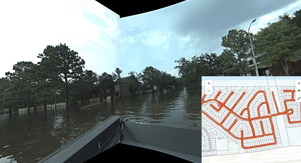
Provides 360-degree, panoramic imagery from user-generated photographs. Users can view the images by clicking on a location in an ArcGIS Online web map. Used like Google Street View but for disaster scenarios and remote intelligence.
.
Tags
-
No tags applied
Developed by
GroundVu
